Days 63 & 64, Weds and Thurs, August 17 & 18
Spent these days at the Whitefish KOA catching up. I’d intended to get my blog up to date on Weds but got to talking with some fellow motorcyclists and just ran out of time. So I re-upped for one more day to get the blog done. Thankfully I’ve now got it 100% up to date. I’m finding that it’s a HELLUVA lot of work to keep my journal updated and keep my posts equally updated on the web. Definitely worth it though!
Actually the timing of this stay at the KOA has been perfect. There were thunderstorms forecasted (correctly) for yesterday and this morning which would have made a trying to tour around Glacier rather inconvenient. As it is, I've been enjoying nice warm showers and free biscuits and gravy breakfasts here at the KOA.
Another thing I’ll miss from this KOA is the company. I met two very interesting people here. I met Mark Cederquist, a RN from North Atlanta who doesn’t even remotely fit any of the stereotypes of an RN, on the first day I was here. He and I have spent a lot of time just talking and enjoying good company. Mark is in the middle of a 4 week trip. He rode up here on his Kawasaki Nomad and his wife is going to be flying in to join him in Glacier for a couple of days, during which time they’ll be staying in the lap of luxury (his wife likes to stay first class when she’s traveling!) The second person I met here, I met on my second day at the campsite. Christine Hart was a practicing physician and after 15 years decided to quit. She’s doing a similar trip to mine in her car, towing a little flat bed trailer. Christine and I had a marvelous time comparing notes about our trips. We were both pleased to see that the amazing show of good will that each of us had experienced during our trips wasn’t an anomaly but rather, apparently, the norm. She’s only 2 weeks into her trip so she had a lot of questions about whether I found that people’s good will persisted throughout. You bet it does!
posted by Britton @ 1:53 PM
1 comments
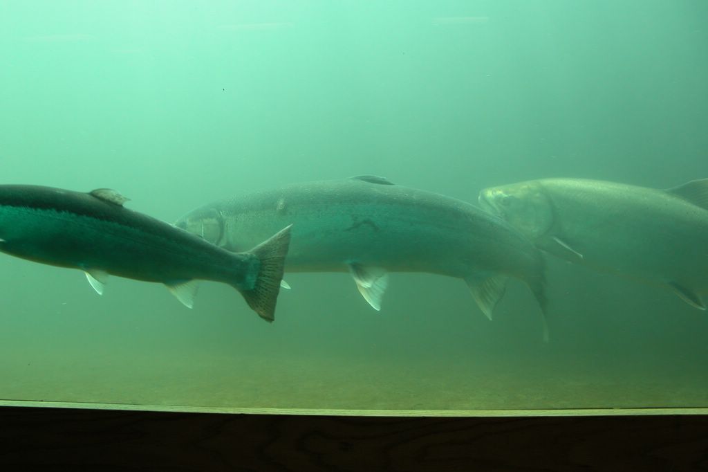
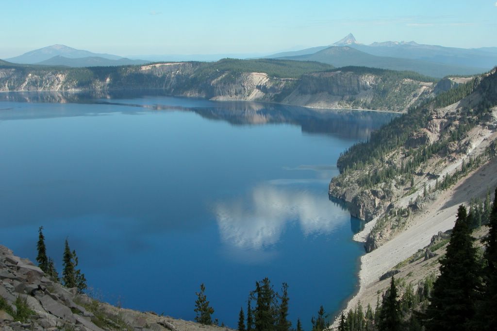
![]()
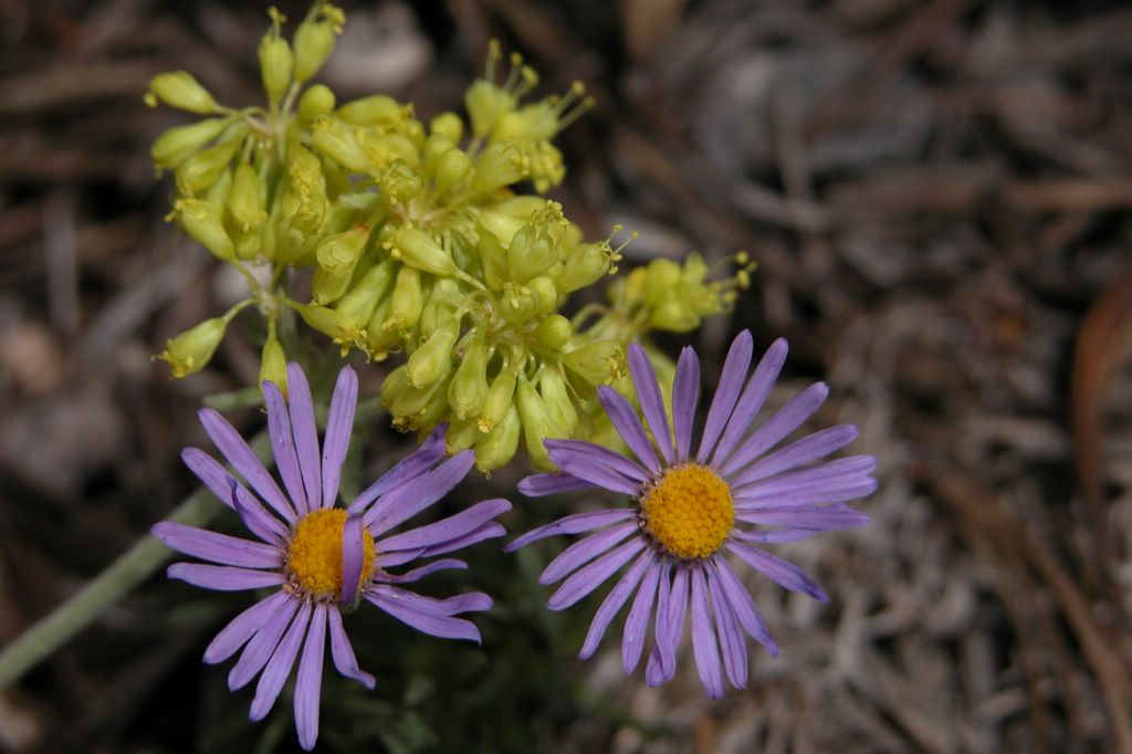
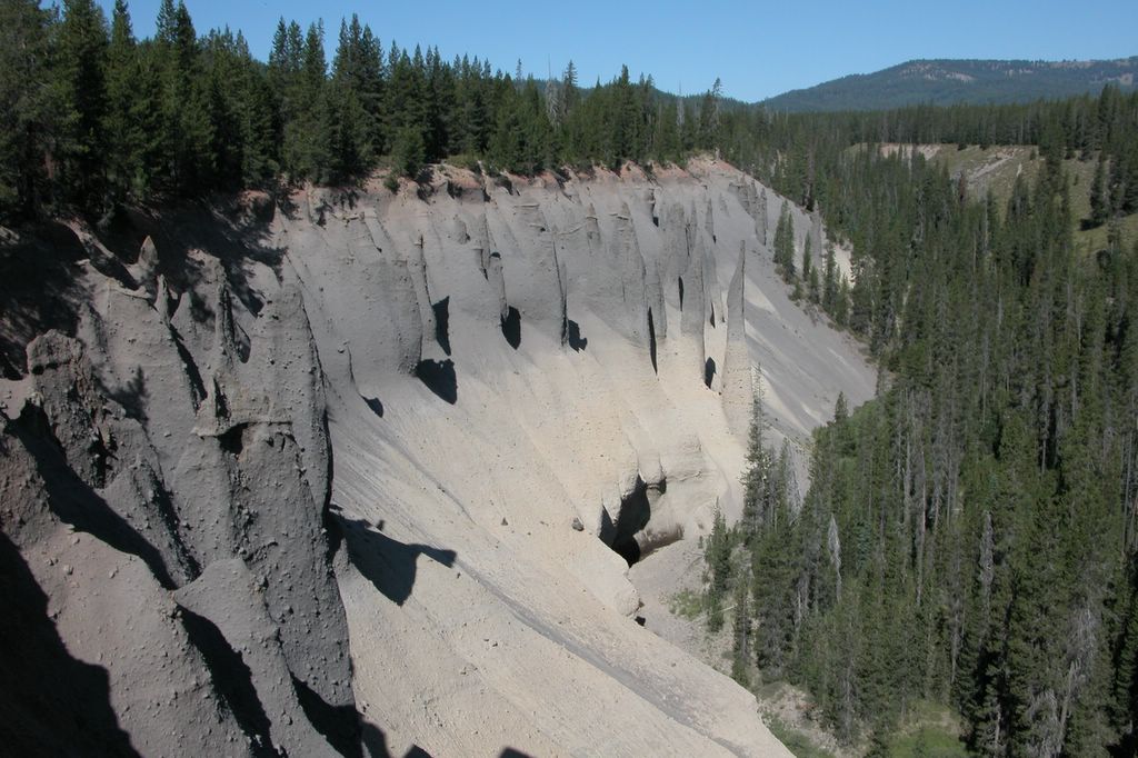
![]()